
Forestry

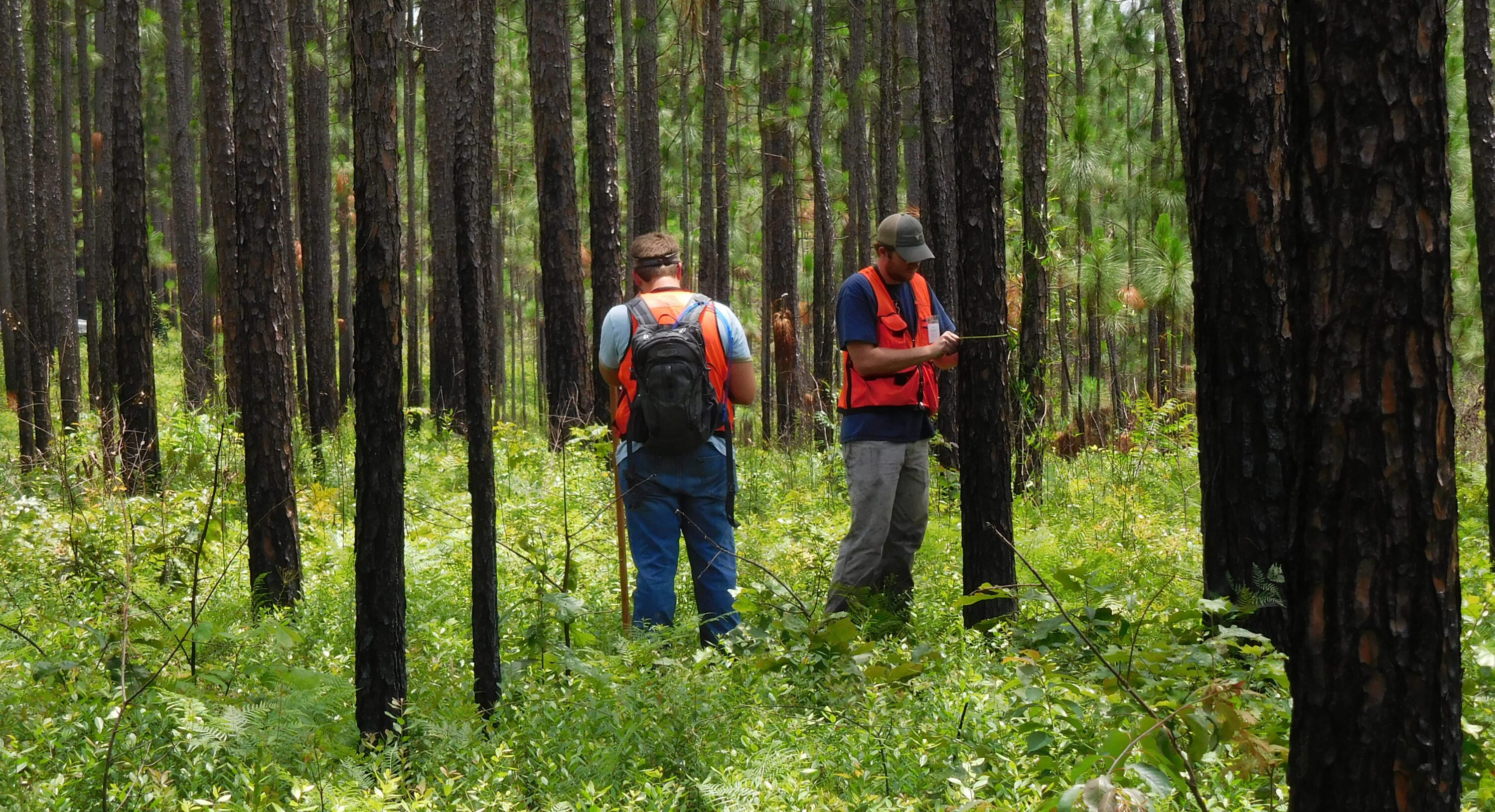
For many landowners in forested areas, restoring and maintaining ecological function is an important objective to support wildlife habitat, sustain native ecosystems, and improve forest health. This requires a dedicated strategy that works in tandem with an overall forest management plan.
Managing forested land can be like a cross-country journey, with many routes to choose from. A forest management plan provides a road map of the best practices and associated timing to help meet objectives. This holds true whether the objective is timber alone or if it includes restoring a native system, such as longleaf pine or upland hardwood.
Those who want to restore ecological function to their forest need to create a dedicated ecological restoration plan. The process is not as easy as simply conducting a burn and planting longleaf pine; much more work is required. The right plan addresses timber resources and guides landowners in all aspects needed to bring the property to its closest possible natural system.
Restoration Begins with a Forest Management Plan
A forest management plan for a landowner with fewer acres may be as simple as defining goals and objectives, mapping the property and forest stands, and laying out a timeline of events. If timber is a primary objective, a registered forester is needed to conduct a forest inventory cruise (figure 1) of each timber stand to determine the current inventory and develop a management schedule. The management schedule may include intermediate treatments, such as prescribed burning, chemical release, fertilization, and thinning, or it may involve scheduling the stand to be clearcut. When laying out the schedule for management activities, it is important to take into consideration all necessary roadwork, firebreak establishment or maintenance, and even food plot management.
Ecological Restoration Requires a Specific Plan
When beginning the ecological restoration process, landowners must spend some time to develop a good map. This foundational map can be used as a basis for identifying roads, trails, firebreaks, and any structures. Additional layers or maps can be created to identify different plant communities and ecosystems, other unique areas, or prescribed burn units. Areas that may pose an issue, such as invasive species, old dumps, or old gravel pits, must be identified. An accurate map is almost as valuable as a good road system (figure 2).
Click on the images below to view them at full scale.
-
- Figure 1. A timber inventory is an important component of every forest management plan.
-
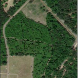
- Figure 2. An example map designates the forest types and walking trail system. (Photo credit: Esri, DigitalGlobe, GeoEye, Earthstar Geographics, CNES/Airbus DS, USDA, USGS, AeroGRID, IGN and the GIS User Community)
-
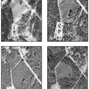
- Figure 3. Historic aerial photographs depict (a) a project site in 1938, (b) 1960, (c) 1966, and (d) 1974. (Photo credit: Cartographic Research Laboratory, College of Arts and Sciences, the University of Alabama)
Investigate the Land’s History
The next step is to do some investigation on the history of the property. Sometimes this simply involves talking to older family members or neighbors that have a good knowledge of past land-use practices. Other times, the only available information may be historical aerial photographs or surveys. For example, the photographs in figure 3 show that the restoration site was being farmed in 1938 and was reforested sometime in the early 1960s. Spending time on the tract looking for undisturbed areas with intact plant communities as a reference point can tell you a lot about the historic use of the property.
Understand the Land’s Historic Use
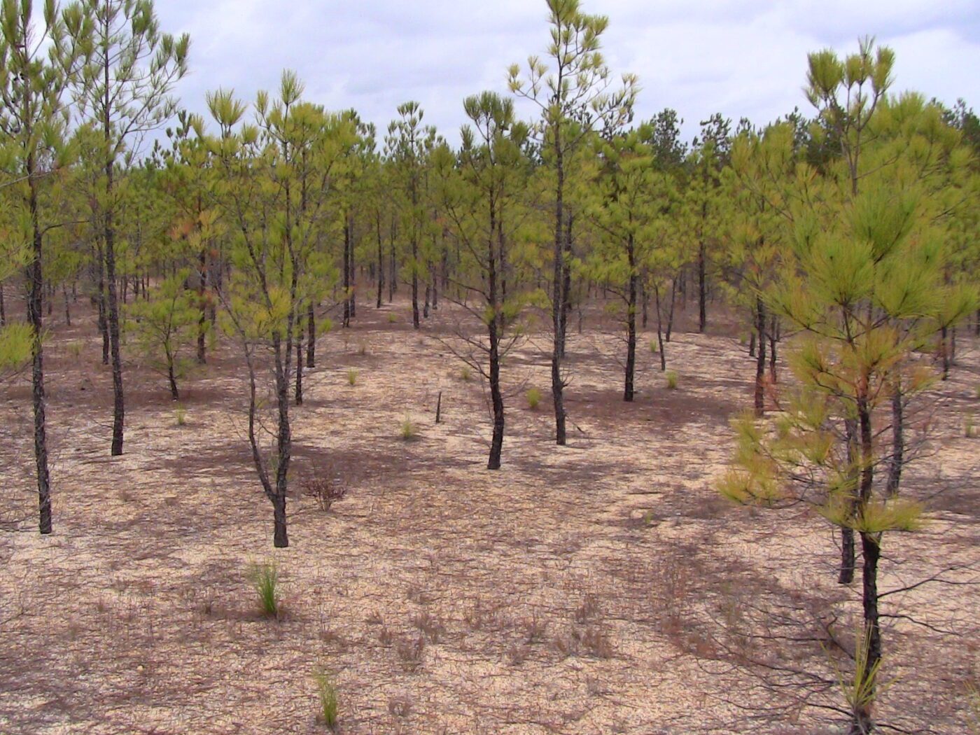
Figure 4. Gravel mine reclamation site in Escambia County, Alabama. Note the size of the 18-year-old loblolly pine and the 2-year-old grass-stage longleaf pine, and the lack of groundcover. This site will take a lot of money to restore and may not be the best use of resources.
Interpreting the historic use of the property in relation to restoring the ecological function comes next. Restoration of property that was clear-cut 20 years ago and abandoned might not be difficult, as opposed to a tract that was row-cropped for the last 40 years or mined for sand and gravel (figure 4). These sites might be impossible to restore due to the lack of available native plant materials and the tremendous associated cost. It is not a good use of resources to try to restore a site if potential for success is miniscule.
Have Realistic Goals
Using the information that is discovered and compiled, the landowner can develop realistic objectives and achievable goals for the property. Avoid goals that are not achievable, such as restoring an old cotton field to a fully functioning longleaf ecosystem within 2 years. Restoration is a journey; use patience. Rushing to get started may cost more money and time in the long run. Planting trees and groundcover too quickly can be a setup for failure due to soil problems or unseen competition that may require treatment methods that are not compatible with young trees.
Develop the Plan
Develop an ecosystem restoration plan focusing on the stated objectives. The plan is a list of management steps needed to achieve restoration. The plan will outline a timeline for each management practice and include a budget. By prioritizing the management practices early, it will help you determine the best use of time and resources.
When working on a restoration project you need to determine how you’re going to monitor and evaluate the project. For a landowner who owns fewer acres, the monitoring may consist of photo points, whereas a large-scale project may include annual botanical surveys to determine the percentage of desired ground cover plants (figure 5). The overall goal is to be able to evaluate the progress.
Click on the images below to view them at full scale.
-
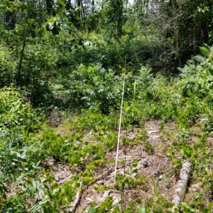
- Figure 5a. Established vegetation monitoring plot on a longleaf restoration project in Alabama: post overstory thinning targeting offsite pine in 2016. (Photo credit: Carol Denhof)
-
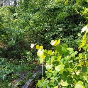
- Figure 5b. Established vegetation monitoring plot on a longleaf restoration project in Alabama: 1 year’s growth on midstory shrubs in 2017. (Photo credit: Carol Denhof)
-
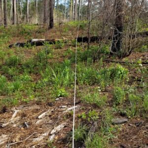
- Figure 5c. Established vegetation monitoring plot on a longleaf restoration project in Alabama: post-midstory herbicide treatment with triclopyr and prescribed burn in 2018. (Photo credit: Carol Denhof)
Implement the Plan
Once the plan has been completed, it is finally time to implement the restoration plan. Line up the necessary resources, materials, and contractors, and get to work. Do your best to stick to the timeline outlined in your restoration plan but stay flexible. Restoration projects occur outdoors, and weather can be unpredictable sometimes. Don’t force plantings if conditions are not acceptable just because they are on your timeline.
An extremely beneficial practice is to document changes as they occur in the project area and maintain a good set of records. This is essential for professional projects but also can be good information to have on hand for private landowners. Documentation is very helpful if you need to bring in additional expertise to assess the results and provide recommendations.
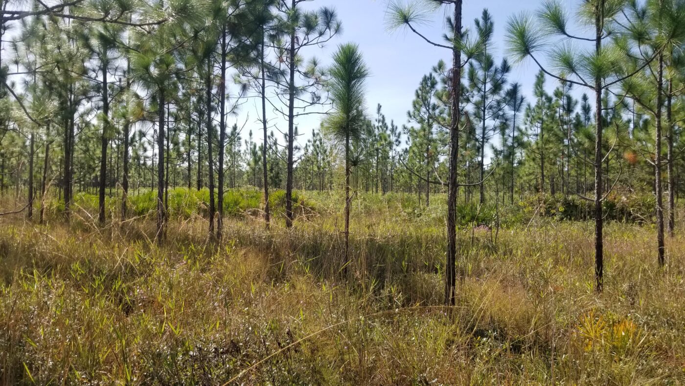
Figure 6. A restored longleaf flatwoods site in Central Florida.
Periodically Assess and Update Your Forest Management Plan
Once you have completed your project and restored the site to your objectives, update your forest management plan. The objectives you originally outlined when you started your management journey may have changed. That’s OK, because the plan is a fluid document that can be updated at any time. Be sure to review your management plan at least every 5 years and update as needed.
Remember, rarely are you working on a project that has not or is not being done somewhere else. By periodically reviewing new literature for similar types of restoration, you can evaluate your project and improve practices based on the best current research or processes. New information is available often and can help increase the success of your project. As you discover new or better ways, be sure to communicate the findings with others. Sharing that information through an organization with proven educational and outreach practices, like the Alabama Cooperative Extension System, benefits forest managers everywhere.

Ryan Mitchell, former Regional Extension Agent, and Richard Cristan, Extension Specialist, Associate Professor, Forestry, Wildlife, and Environment, both with Auburn University
Revised August 2026, Ecological Restoration Planning, FOR-2079
For more information, contact your county Extension office. Visit aces.edu/directory.
Trade and brand names used in this publication are given for information purposes only. No guarantee, endorsement, or discrimination among comparable products is intended or implied by the Alabama Cooperative Extension System.