Forest Resiliency
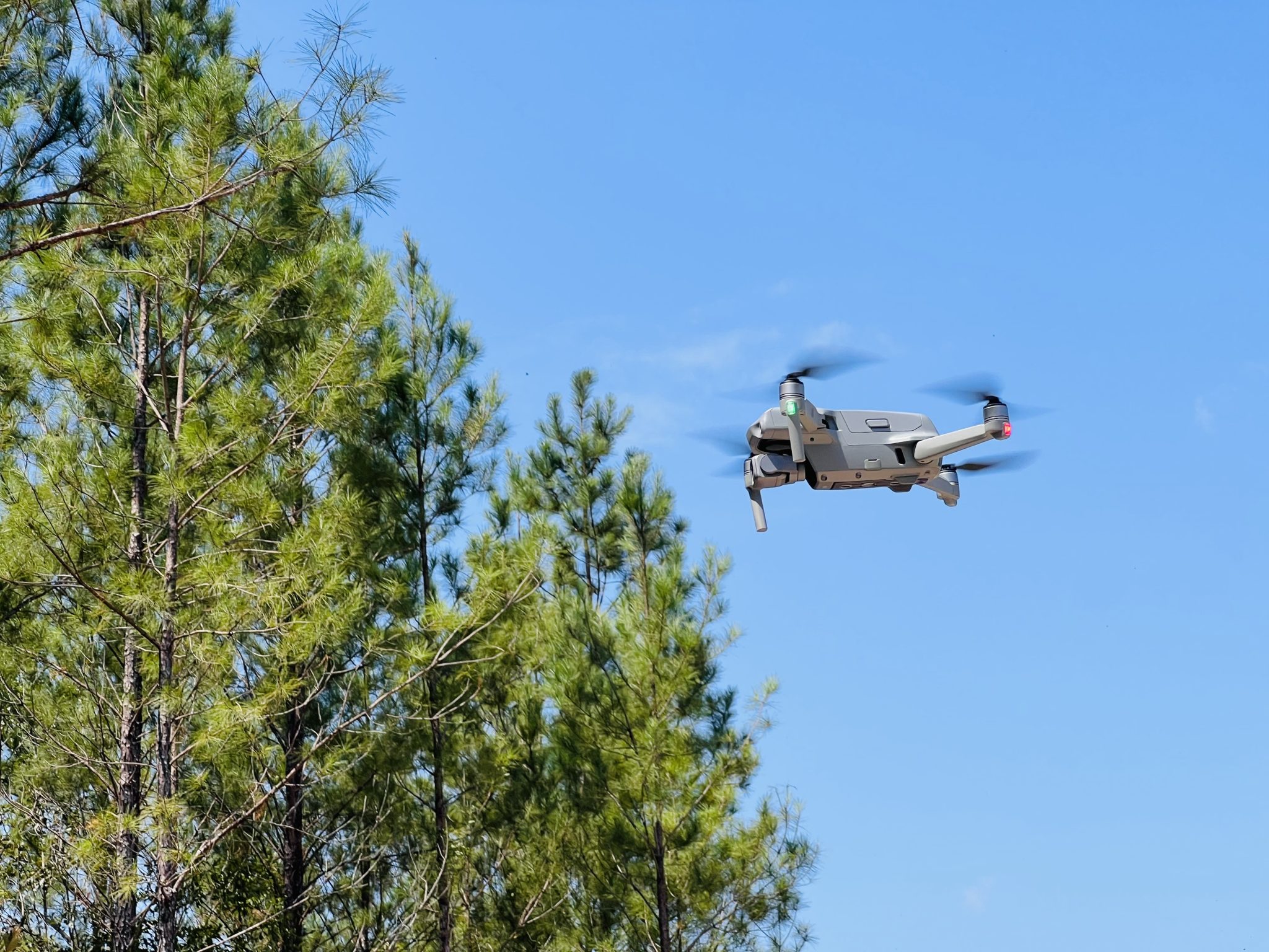
Unmanned aerial systems (UAS), also referred to as drones, have multiple applications such as aerial photography, precision agriculture, disaster management, forest management, construction, mining, and surveillance. Drones are becoming more widely used due to advancement of electronic technology, miniaturization, affordability, efficiency of cameras and sensors, and improved battery power. Drones can serve as a valuable supplement to conventional data capture methods in the forest industry–providing a unique perspective and additional information that can enhance the quality of collected data. In forestry, drones can be used for stand delineation and mapping, harvest planning, forest structure estimation and inventory, carbon inventory, damage assessments, forest disease and pest detection, stand mapping, forest fire detection and post-fire mapping. In addition, drones can also be used for ecological mapping, park management, tourism, topographic modeling, soil erosion mapping, wildlife monitoring, and encroachment/trespass detection. Rotary-wing drones are typically the best drone for forestry applications as they can be launched vertically while fixed-wing drones need to have a much larger takeoff and landing area. There are some fixed-wing drones that have vertical takeoff and landing abilities but are costly. Typical rotary-wing drones for basic mapping of forest areas cost between $300-$3,000, and these drones come standard with a camera. Larger drones are required for more specialized measurements such as LiDAR (Light Detection and Ranging) as well as multispectral and come at a higher cost as these sensors may be additional to the drone purchase.
-
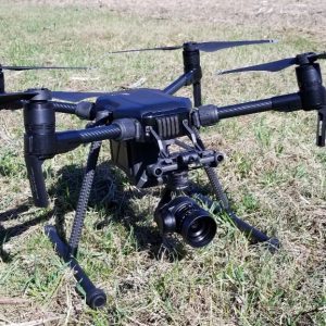
- Large drones are designed to carry specialized cameras and sensors such as LiDAR, multispectral, and thermal.
-
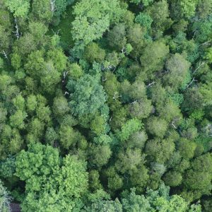
- Drone mapping of forests helps detect trees that are impacted by a forest pest.
If considering purchasing a drone, there are specific requirements through the Federal Aviation Administration (FAA) that you must follow whether you are a recreational (i.e., a hobbyist) operator or flying for commercial purposes. All drones have to be registered through the FAA–no matter if you are a recreational or commercial operator. However, commercial operators (i.e., flying for business related purposes) have to obtain their remote pilot license prior to operating the drone. Drones are governed by FAA regulations outlined in the 14 Code of Federal Regulations (CFR), Part 107, which includes guidelines for drone registration, flight altitude restrictions, prohibited areas for flyovers, and regulations for drone pilot behavior. You can find more information on FAA requirements on the FAA’s Become a Drone Pilot web page. To learn more about drone use in forestry, refer to the peer-reviewed Alabama Extension publication at www.aces.edu, or contact Richard Cristan, Extension forestry and wildlife sciences specialist.