Watershed Planning
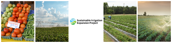
Planning for Irrigation Expansion in Alabama Using the Watershed Protection and Flood Prevention Program (PL-83-566)
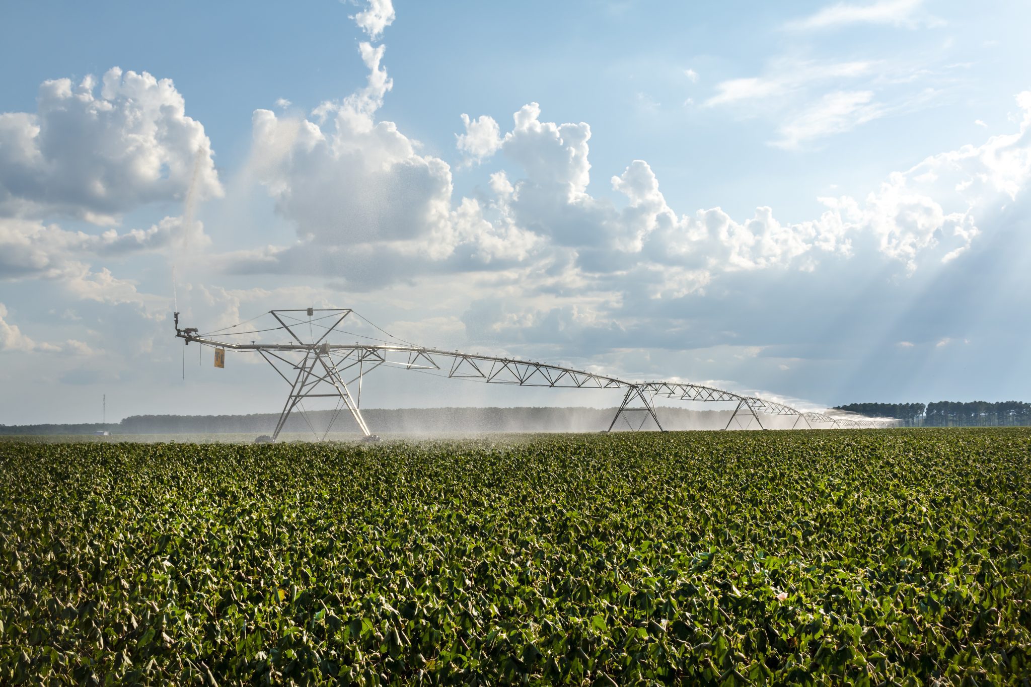
The ACES Water Program team (housed in the Auburn University Water Resources Center) is working with the Alabama Soil and Water Conservation Committee (ALSWCC) and the USDA Natural Resources Conservation Service (NRCS) to help producers convert rain-fed farmland to irrigated farmland in select Alabama watersheds. A watershed, also known as a drainage basin, is an area of land where precipitation drains into a common outlet such as a river or bay. For example, all the land in the Middle Alabama River watershed “sheds” precipitation to the Alabama River. This program is not funded through the Farm Bill but by the Watershed Protection and Flood Prevention Program (Public Law 83-566). Converting rain-fed cropland to irrigated cropland helps protect watersheds in various ways, including maintaining crop vigor in periods of drought, improving soil quality, decreasing erosion and sediment pollution of streams and rivers, and decreasing nutrient runoff into groundwater and surface waters. PL 83-566 authorizes the USDA to provide technical and financial assistance to state and local agencies to plan and implement projects that protect small watersheds.
This federal watershed program aids with purposes such as
- protecting the water quality of streams, rivers, lakes, and oceans
- protecting fish and wildlife
- flood prevention
- municipal and industrial water supply
- agricultural water management
USDA NRCS is providing assistance to ALSWCC (the sponsoring state agency) to implement the project. PL 83-566 requires the development of a physically, environmentally, socially, and economically sound watershed plan scheduled for implementation over a scheduled period of years.
Selecting Watersheds for Irrigation Expansion
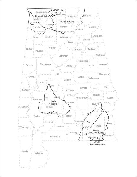
As the first-of-its-kind project where PL 83-566 funds are being used to help producers convert rain-fed cropland to irrigated cropland, NRCS and ALSWCC committed to developing watershed plans for pilot watersheds. These watersheds were selected by a committee of stakeholders based on the best available data. They are:
- Pickwick Lake watershed (North Alabama)
- Bear watershed (North Alabama)
- Wheeler Lake watershed with a small portion of the Lower Elk River watershed (dubbed the Middle Tennessee River Valley Watershed Area, North Alabama)
- Middle Alabama River watershed (Central Alabama)
- Upper Choctawhatchee River watershed with a small portion of the Lower Choctawhatchee River watershed (South Alabama)
- Pea River watershed (South Alabama)
Watershed Planning Process
Before federal funds can be released to farmers within a watershed, a Watershed Plan and Environmental Assessment must be completed and approved. Auburn University is working with ALSWWC to create the watershed plans for this project with the help of teams at the University of Alabama in Huntsville and Tuskegee University.
The planning process for PL 83-566 projects must follow certain steps.
- Identify Problems and Opportunities
- Determine Objectives
- Inventory Resources
- Analyze Resource Data
- Formulate Alternatives
- Evaluate Alternatives
- Make Decisions
- Implement the Plan
- Evaluate the Plan
Completed Watershed Plans
So far, plans have been completed for three Alabama watersheds:
- Wheeler Lake watershed with a small portion of the Lower Elk River watershed (North Alabama)
- Upper Choctawhatchee River watershed with a small portion of the Lower Choctawhatchee River watershed (South Alabama) and Pea River watershed (South Alabama)
Producers in these areas can apply to the program through the ALSWCC. Approved producers who complete the application process receive cost-share assistance for irrigation infrastructure installed following the project’s guidelines. Eligible infrastructure includes wells, pumps, pipes, center-pivot systems, tow-traveler systems, drip irrigation systems, electrical service, reservoirs, and more. The cost-share amount covered varies:
- All approved producers receive at least 60% cost-share to install irrigation infrastructure.
- Deep wells (300 feet or more) are reimbursed at 75% cost-share.
- Approved socially disadvantaged producers receive 75% cost-share. producers include farmers who are Black or African American, American Indian or Alaska Native, Hispanic or Latino, and Asian or Pacific Islander.
- Approved historically underserved producers installing micro-irrigation or plasticulture infrastructure on more than one acre receive 90% cost share. Producers include socially disadvantaged, beginning, limited-resource, and veteran farmers
- Payment cap of $250,000 for each participating farm.
A watershed plan for the Middle Alabama River watershed is currently being developed.
Once a watershed plan is completed and approved, farmers are eligible to apply for the program and enter the ranking pool.
More Information
If you are interested in applying for this program or would like to learn more, contact your local Soil and Water Conservation District office.