Emergency Handbook

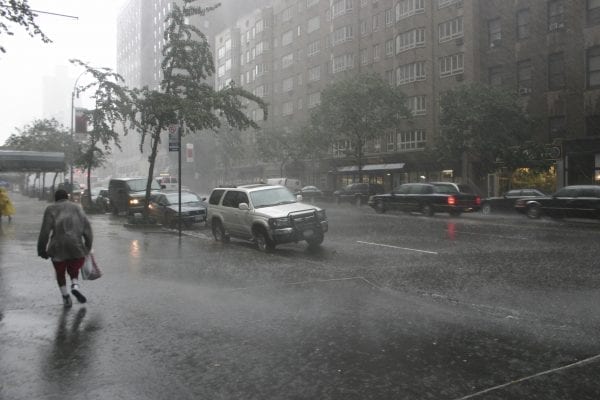
Weather alerts are provided by local, state, and national authorities and the media when threatening climate conditions arise. Meteorologists are trained professionals equipped to analyze natural indicators of weather conditions that may be threatening and to advise us to seek safety when necessary. In the event of severe weather predictions, always stay tuned to your radio or television and become familiar with the warning signals. While it’s good to be able to judge cloud formations and other natural signs, don’t assume you will have time to assess weather conditions and to act properly in the event of bad weather.
Floods
Flash Flood Watch: There may be flooding. Stay alert and watch for thunderstorms. Keep an eye on rivers, creeks, and streams. If they rise, don’t wait. Get to high ground fast.
Flash Flood Warning: There is flooding. Act at once. Move to a safe area on high ground.
Hurricanes
Hurricane Watch: A hurricane may hit your area.
Hurricane Warning: A hurricane is headed for your area. You may be told to move to a shelter or evacuate the area. Do so immediately.
Hurricane Categories
Category 1
Winds of 74 to 95 miles per hour. Damage primarily to shrubbery, trees, foliage, and mobile homes. No real wind damage to other structures. Some damage to poorly constructed signs. Low-lying coastal roads inundated. Pier damage minor. Some small craft in exposed anchorage torn from moorings.
Category 2
Winds of 96 to 110 miles per hour. Considerable damage to shrubbery and tree foliage; some trees blown down. Major damage to exposed mobile homes. Extensive damage to poorly constructed signs. Some damage to roofing materials, doors, and windows of buildings. No major wind damage to buildings. Considerable damage could occur to piers. Marinas flooded. Small craft may be torn from moorings.
Category 3
Winds of 111 to 130 miles per hour. Foliage torn from trees, and large trees blown down. Practically all poorly constructed signs blown down. Some damage to roofing materials of buildings. Some window and door damage, and some structural damage to small buildings. Mobile homes destroyed. Serious flooding at coast, and many smaller structures near coast destroyed; larger structures near coast damaged by battering waves and floating debris.
Category 4
Winds of 131 to 155 miles per hour. Many shrubs and trees are blown down, and most street signs are damaged. Extensive damage to roofing materials, windows, and doors. Complete failure of roofs on many small residences. Complete destruction of mobile homes. Major damage to lower floors of structures near shore due to flooding and battering by waves and floating debris. Major erosion of beaches.
Category 5
Winds greater than 155 miles per hour. Shrubs and trees are blown down. Considerable damage to roofs of buildings. All signs are damaged or destroyed. Severe and extensive damage to windows and doors, including shattering of glass. Complete failure of roofs on many residences and industrial buildings. Some complete building failures. Small buildings overturned or blown away. Complete destruction of mobile homes.
Tornadoes
Tornado Watch: Weather conditions may cause tornadoes or severe thunderstorms to develop in or near the watch area. A watch does not mean a tornado has been sighted.
Tornado Warning: A tornado has actually been sighted or indicated by radar. Residents should take shelter.
Tornado Categories
Tornadoes are categorized according to the damage they cause, using what is known as the Enhanced Fujita Tornado Intensity Scale.
EF-0 Winds at 65 to 85 mph
EF-1 Winds at 86 to 110 mph
EF-2 Winds at 111 to 135 mph
EF-3 Winds at 136 to 165 mph
EF-4 Winds at 166 to 200 mph
EF-5 Winds over 200 mph
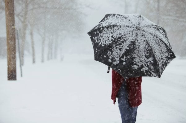
Winter Weather
Winter Weather Advisory: A significant winter storm or hazardous winter weather is occurring or imminent.
Winter Storm Watch: Significant winter weather (i.e., heavy snow, heavy sleet, significant freezing rain, or a combination of events) is expected but not imminent for the watch area. Provides 12- to 36-hour notice of the possibility of severe winter weather.
Winter Storm Warning: A significant winter storm or hazardous winter weather is occurring, imminent, or likely and is a threat to life and property.
Blizzard Warning: Winds are at least 35 mph or greater. Blowing snow will frequently reduce visibility to ¼ mile or less for at least 3 hours. Dangerous wind chills are expected in the warning area.
Wind Chill Index: The calculation of temperature that takes into consideration the effects of wind and temperature on the human body. This is not the actual air temperature but what it feels like to the average person. A wind chill chart shows the difference between actual air temperature and perceived temperature, and the amount of time until frostbite occurs.
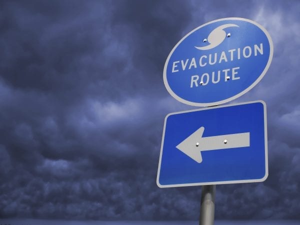
Know Your Local Evacuation Routes
One factor to consider when deciding whether or not to evacuate is the type of disaster or emergency. Some emergencies allow you time to prepare (such as hurricanes or winter storms); others can come upon you quickly (such as flooding, wildfires, or tornadoes). If you live in a flood-prone area, it’s best to evacuate during the voluntary phase so you will have enough time to move. Floodwaters can come upon you suddenly and trap you, making it difficult or impossible to leave at a later time. Whatever you decide, it is extremely important to have an evacuation plan. FEMA provides some guidelines to help you prepare: www.ready.gov/evacuating-yourself-and-your-family.
Used by permission of the Alabama Emergency Management Association and National Weather Service.
Use pesticides only according to the directions on the label. Follow all directions, precautions, and restrictions that are listed. Do not use pesticides on plants that are not listed on the label. Trade and brand names used are given for information purposes only. No guarantee, endorsement, or discrimination among comparable products is intended or implied by the Alabama Cooperative Extension System. This publication is for information purposes only and should not be a substitute for recommendations or treatment by a health care provider.