Science & Technology

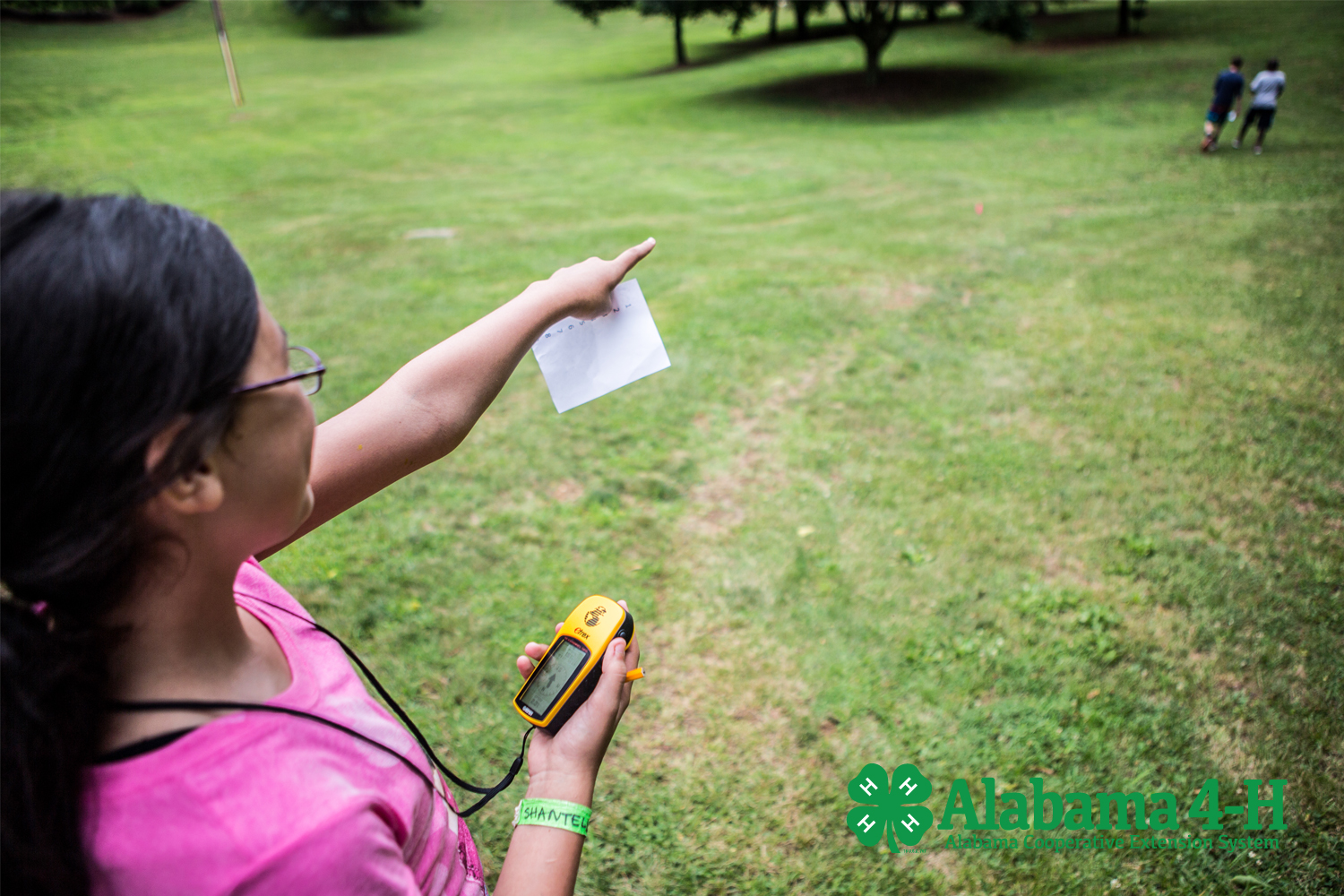
Geospatial technology is about equipment used to help see, measure, and analyze information about the earth’s features. It typically involves GPS, which stands for global positioning systems, and GIS, which stands for geographical information systems. Remote Sensing (RS) is another technology often used with geospatial technology.
How does GIS work? How does GPS work? What can be done with geospatial information? Click here to view and download the 4-H Geospatial Curriculum.
Contact your local Extension office to ask about getting involved.

