Healthy Soils
Alabama is home to 6 different soil areas. The areas are divided based on soils with similar parent materials, or geological material. Although there are 6 major soil areas, each area includes hundreds of different soil series, or named soils. Generally, series names come from a geographical location near where a similar soil was first described.
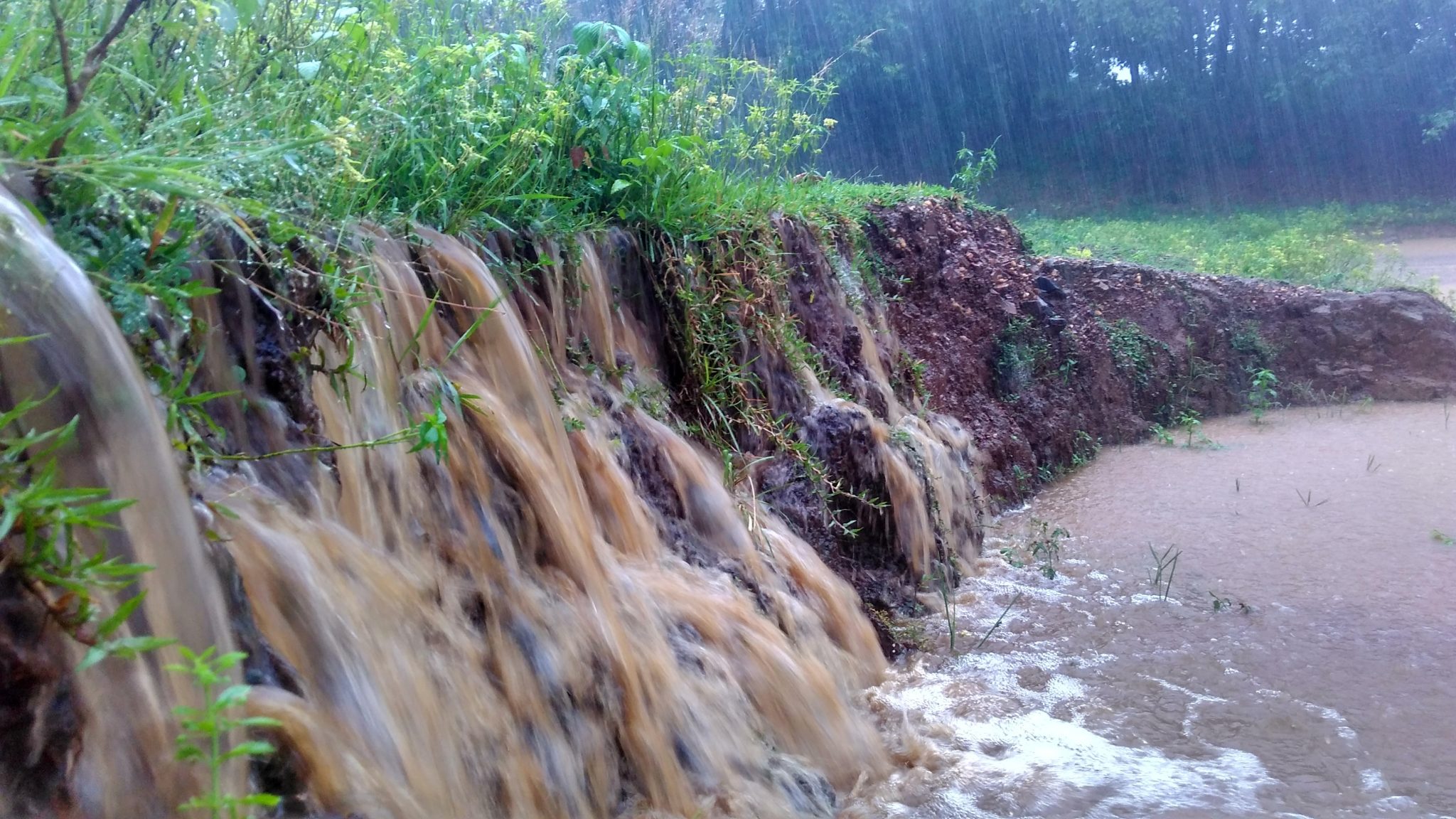
Soils in the Flood Plains, Terraces, and Coastal Marshes are not extensive, but still important. These soils are found along rivers, streams, and coastal areas—mainly in the Coastal Plain region of the state. Along Alabama’s major river systems (Alabama, Tombigbee, Black Warrior, Coosa, Tallapoosa, Chattahoochee, Pea, Choctawhatchee, and Conecuh) and their tributaries, these soils formed from alluvium deposited by the streams.
Characteristics and Considerations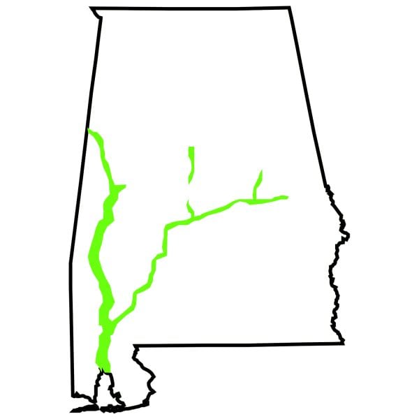
A typical area consists of cultivated crops on the nearly level terraces and bottomland, and the hardwood forests in the floodplain of streams. Soils of the coastal marshes and beaches are poorly drained and may have dark grayish brown, mucky sandy loam surfaces over a gray sandy loam subsoil. Because theses soils are in the early stages of development (flooding may deposit new parent material), they don’t always show the typical A-B-C soil profile development of older soils. Human-made lakes on upland rivers have flooded most of the alluvial soils in the Piedmont, Sandstone Plateau, and Limestone Valley regions of the state.