Forestry
Drones: Alabama Extension’s Management Minute Series
1 min read
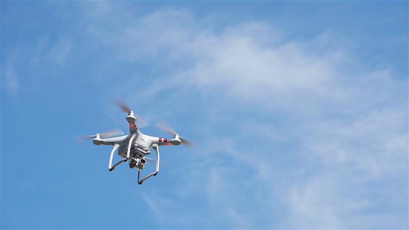
Drones or UAVs provide a useful management tool that allows landowners to generate real-time aerial images of their property that might not be up-to-date through online sources. Land management practices, like timber harvests and road construction, may not be visible on historical aerial maps. Using this technology can allow landowners to create and update management plans and strategies.
For more information, contact the Alabama Extension regional forestry and wildlife agent serving your county.
This video first appeared as a part of Alabama Extension’s Management Minute Series on the Buckmasters television show.