Forestry
A step-by-step guide to downloading, interpreting, and classifying satellite imagery using free software.
Satellite imagery analysis and other remote sensing techniques have become an integral component of land and natural resource management, particularly among government agencies, NGOs, and private companies that can afford to hire remote sensing specialists. Smaller organizations, however, may lack the resources to staff a dedicated remote-sensing or GIS (geographic information system) position. Fortunately, free tools are available that allow nonspecialists to access and analyze satellite imagery to help achieve natural resource management objectives.
This guide provides a brief introduction to the applications and basic concepts of satellite imagery analysis. Step-by-step instructions follow on how to access and analyze up-to-date imagery. The instructions are based on a case study involving detection and mapping of the invasive shrub Chinese privet (Ligustrum sinense) in a bottomland hardwood forest.
This publication includes the following chapters:
- Introduction
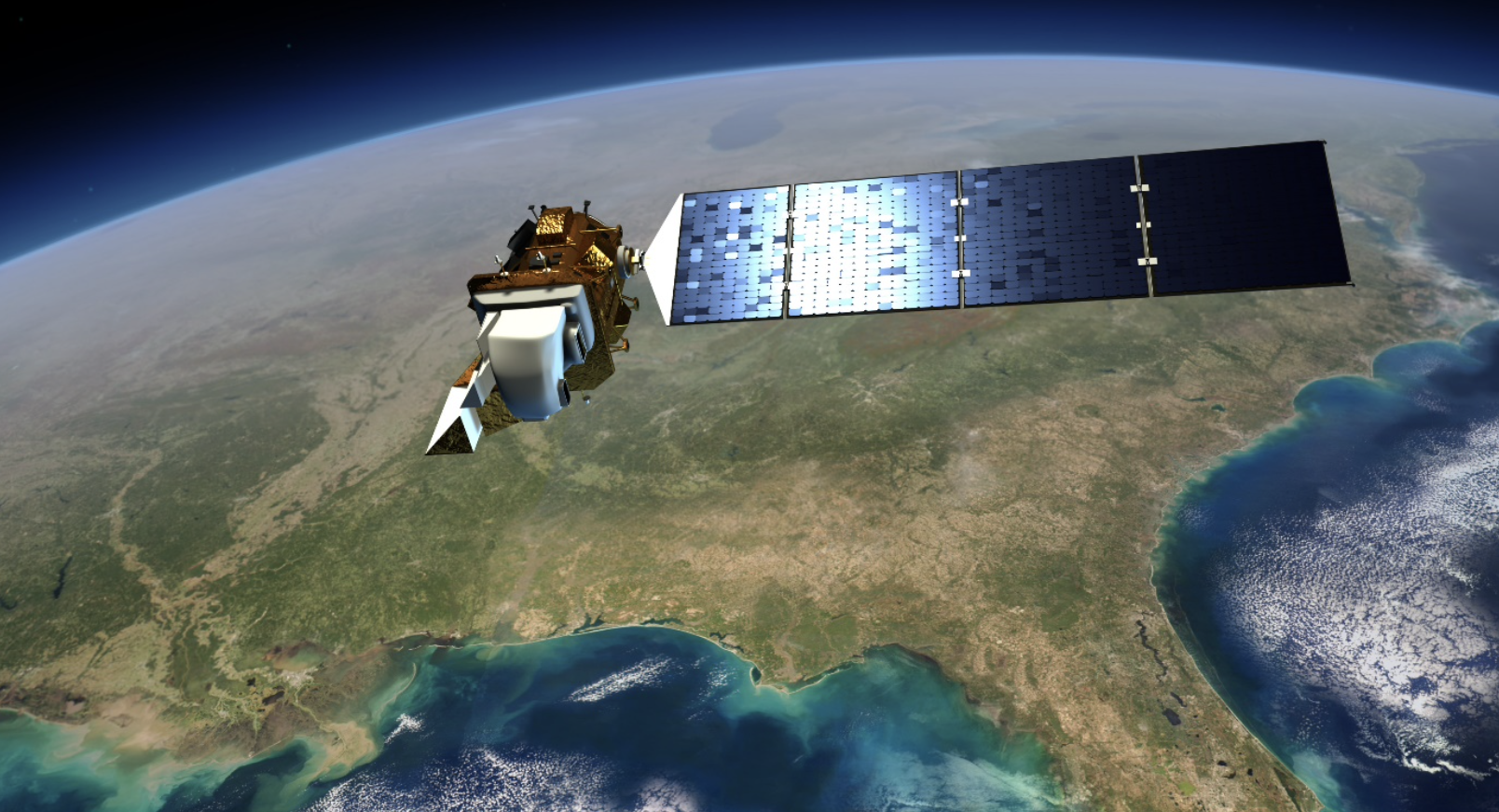
- Sentinel and Landsat Imagery
- QGIS: Free Open-Source Mapping Software
- Supervised Land Cover Classification
- Additional Resources and References
For questions about accessibility or to request accommodations, contact Extension Communications and Marketing at 334-844-5696 or extcomm@aces.edu.
 James Cash, former Graduate Student, Nancy Loewenstein, Extension Specialist, Chris Anderson, Associate Professor, Forestry and Wildlife Sciences, and Arnold “Beau” Brodbeck, Extension Specialist, all with Auburn University
Reviewed January 2022, An Introduction to Satellite Imagery Analysis for Land Managers, FOR-2072